Handkerchiefs as Escape Aids During World War II
Map portraits - August 06, 2025 - Zentralbibliothek Zürich - Kartensammlung
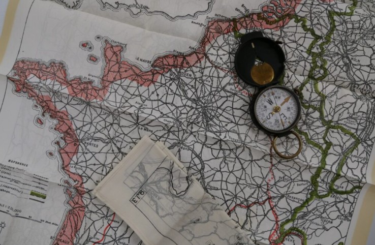
In December 1939, shortly after the outbreak of World War II, a new department was established in London: MI9. MI9’s main task was to help Allied soldiers who had been shot down or captured behind enemy lines to escape. The most important tool for such an escape was... Read more
Henze’s Globe
Map portraits - July 17, 2024 - Zentralbibliothek Zürich - Kartensammlung
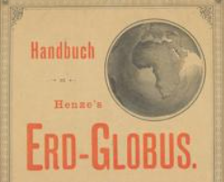
Last January, the Maps and Panoramas Department of the Zurich Central Library acquired, through an antiquarian source, 24 color-lithographed segments on thin glassine paper as well as two polar segments of the extremely rare “Henze’s Globe.” The globe segments appeared between 1885 and 1890 as a free supplement... Read more
The History of Aviation in Emmen and the Siegfried Map
Map portraits - Dezember 19, 2023 - Kartensammlung swisstopo, Wabern
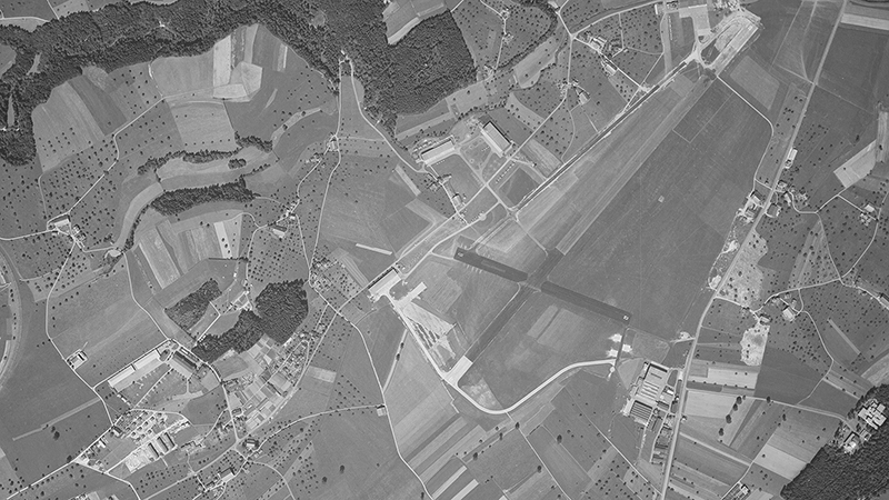
Last year, the Emmen Military Airfield donated maps with hand-drawn markings to the swisstopo map collection. The maps offer insights into the history of aviation and illustrate the role the Siegfried Map played in it. – More at: https://www.swisstopo.admin.ch/de/wissen-fakten/geschichte-sammlungen/raum-zeit.detail.news.html/swisstopo-internet/news2023/time-space/emmen.html Read more
Topographic Map Series of Cameroon
Map portraits - June 07, 2023 - Zentralbibliothek Zürich - Kartensammlung
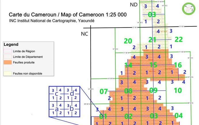
In the spring of 2023, the Maps and Panoramas Department of the Zurich Central Library was able to acquire the latest edition of the new large-scale topographic maps for the Central African country of the Republic of Cameroon, which were available for the first time (on the market/in... Read more
The Helbling Collection at the Zurich Central Library
Map portraits - April 28, 2023 - Zentralbibliothek Zürich - Kartensammlung
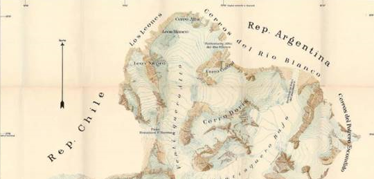
In June 2022, the Maps and Panoramas Department of the Zurich Central Library acquired the South American collection of cartography pioneer Robert Helbling (1874–1954) on the secondary market. The collection comprises approximately 200 individual items (including photographs, sketches, original cartographic drawings, hand-colored map prints, and individual pieces of... Read more
Salamanca Map of Switzerland
Map portraits - November 13, 2018 - Zentralbibliothek Zürich - Kartensammlung
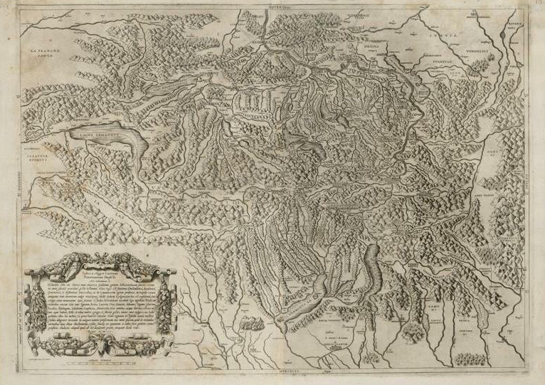
Antonio Salamanca created the first north-oriented map of Switzerland. In 1555, it was engraved on copper—the first Swiss map to be engraved in this manner—and published in Rome with a dedication to Jost von Meggen, commander of the Swiss Guard. The only known copies to date are held... Read more
Andreas Hefti: War Game Map (1896) and Theater of War: South Africa (1900)
Map portraits - June 26, 2017 - Zentralbibliothek Zürich - Kartensammlung
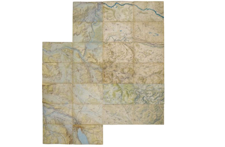
This spring, the Zurich Central Library was able to acquire the 24 sheets of Andreas Hefti’s “War Game Map” at auction from a private collector. The famous “War Game Map” is a one-of-a-kind document that had never been published due to military secrecy. It depicts the northern and... Read more
Globe Cup by Abraham Gessner
Map portraits - March 01, 2016 - Aargauer Kantonsbibliothek, Aarau
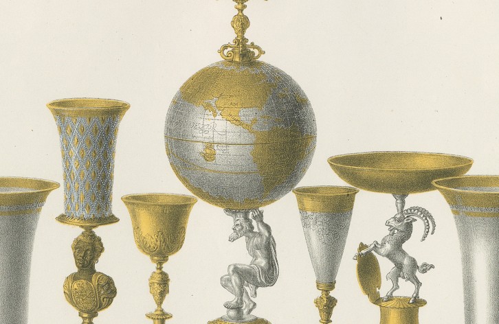
The Zurich Central Library and the Swiss Society for Cartography (SGK) present a weekly MAP BLOG FOR MAP YEAR 2015–16 on the SGK website. Here is an example from the 19/70 entry: http://www.kartografie.ch/imy/19.html Cheers! (Summary) One Becomes Two—Cheers! With a globe? No, with a globe trophy! The specimen... Read more
Matterhorn
Map portraits - July 02, 2015 - Aargauer Kantonsbibliothek, Aarau
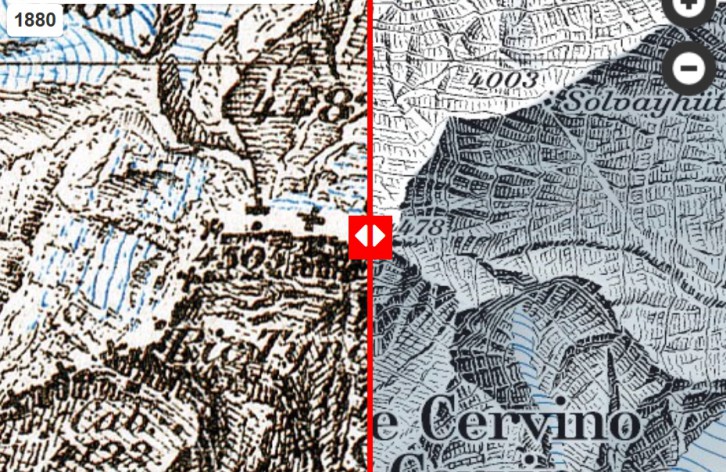
Did you know that during the first ascent of the Matterhorn, Whymper and his climbing partners were four meters closer to the sky than today’s mountaineers—if one considers only the elevation contours? During the first ascent of the Matterhorn 150 years ago, the mountain’s height was listed as... Read more
Why does Switzerland need new national maps?
Map portraits - November 18, 2014 - Aargauer Kantonsbibliothek, Aarau
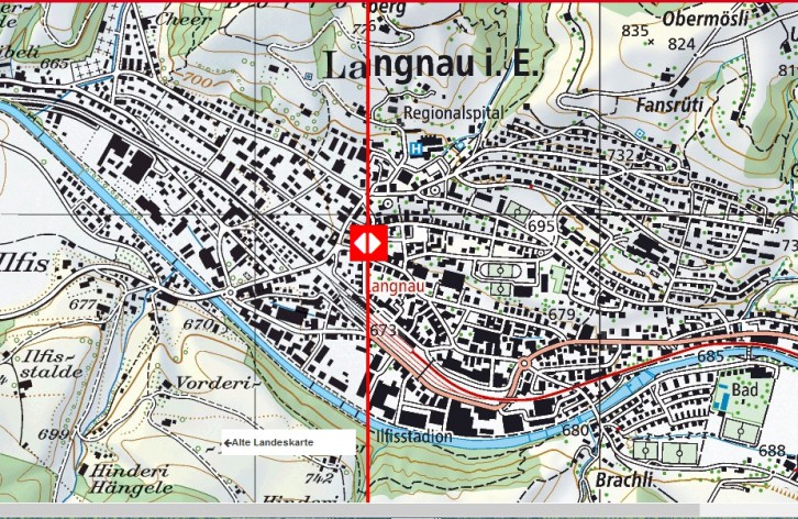
Compare the old and new national maps The 1:25,000-scale national map is being updated to reflect the latest technical and graphic standards. The 1:25,000 national map, first published in the 1950s, no longer meets today’s requirements. It is based on the state of the art at that time... Read more