Handkerchiefs as Escape Aids During World War II
Map portraits - August 06, 2025 - Zentralbibliothek Zürich - Kartensammlung
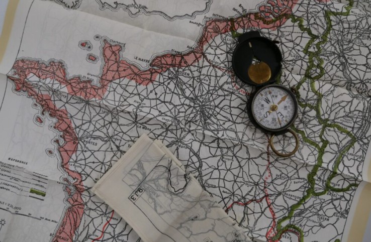
In December 1939, shortly after the outbreak of World War II, a new department was established in London: MI9. MI9’s main task was to help Allied soldiers who had been shot down or captured behind enemy lines to escape. The most important tool for such an escape was... Read more
Giovanni Maggini – Pioneer of Bird’s-Eye-View Cartography in Switzerland
News - April 10, 2025 - Zentralbibliothek Zürich - Kartensammlung
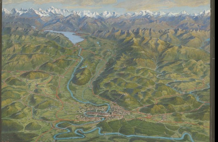
Giovanni Maggini created maps that were always as accurate as necessary and as beautiful as possible—as described by Thomas Bachmann, who presented the first in-depth study on Maggini at the International Atlas Days. Maggini was a learned engineer and cartographer in the cartographic department of Orell Füssli. He... Read more
Kartenportal.CH vs. Google Maps
Exhibitions and events - March 25, 2025 11:00 to March 25, 2025 12:00 - ETH Zürich - ETH-Bibliothek
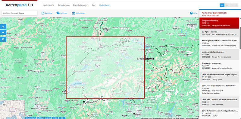
The ETH Library is offering an online training session on Kartenportal.CH on Tuesday, March 25 (11 a.m. to 12 p.m., via Zoom). Contents: What is Kartenportal.CH? Differences from Google Maps, OpenStreetMap, etc. Search strategies Other specialized portals for maps and geodata Hands-on exercises Further information and registration for... Read more
19th International Atlas Days: Swiss Atlas Cartography – Precision and Innovation Between Snow and Rock
Exhibitions and events - April 03, 2025 22:00 to April 05, 2025 22:00 - Zentralbibliothek Zürich - Kartensammlung
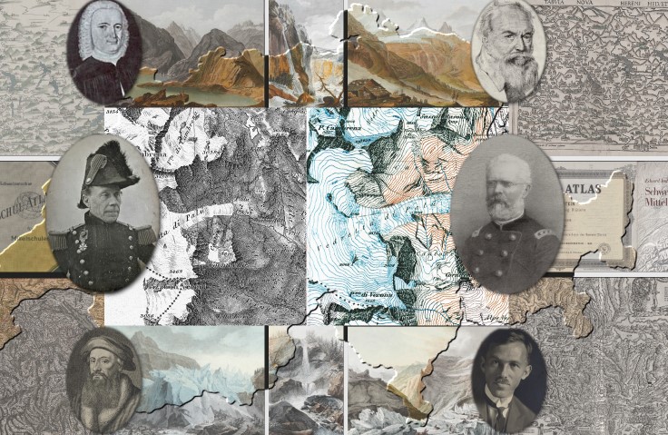
From April 4 to 6, 2025, the 19th International Atlas Days will take place at the Zurich Central Library—for the first time in Switzerland. It was in Zurich, at Froschauer’s printing house, that the world’s first national atlas, Johannes Stumpf’s “Landtafeln,” was first printed in 1548. The venue... Read more
Prachtsatlanten 2 – Georeferencing old maps
News - September 24, 2024 - Kartenportal
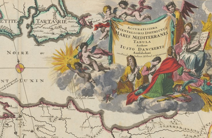
After the successful first part, a further 2,256 digitised maps and town plans from the oldest and most beautiful atlases of the 16th to 18th centuries from the Maps and Panoramas Department of the Zentralbibliothek Zürich (ZB) are waiting to be georeferenced online by volunteers. On the OldMapsOnline... Read more
St. Gallen Globe Online
News - August 09, 2024 - Zentralbibliothek Zürich - Kartensammlung
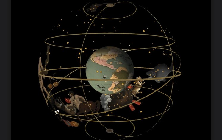
The St. Gallen Globe Online has been enhanced with animated content and numerous explanations. Following its relaunch in August 2024, selected points in the starry sky and on the map of the Earth tell stories of sea monsters, legendary islands, and voyages of discovery. The travelogues and routes... Read more
Henze’s Globe
Map portraits - July 17, 2024 - Zentralbibliothek Zürich - Kartensammlung
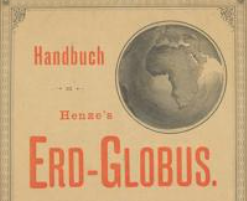
Last January, the Maps and Panoramas Department of the Zurich Central Library acquired, through an antiquarian source, 24 color-lithographed segments on thin glassine paper as well as two polar segments of the extremely rare “Henze’s Globe.” The globe segments appeared between 1885 and 1890 as a free supplement... Read more
Say Goodbye to Wanderlust! – Traveling with Maps
Exhibitions and events - July 09, 2024 18:15 to July 09, 2024 19:15 - Zentralbibliothek Zürich - Kartensammlung
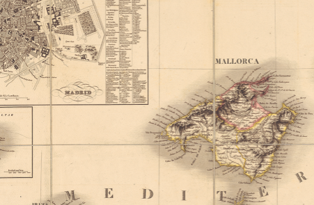
Maps are essential travel companions: They help you find your way in unfamiliar cities and countries, and often provide additional information about the country and its people. But maps also help you prepare for your trip, give you a sense of space, ease wanderlust, and heighten your anticipation... Read more
Webinar “Kartenportal vs. Google Maps”
Exhibitions and events - March 19, 2024 11:00 to March 19, 2024 12:00

The ETH Library is offering a webinar (online via Zoom) on Kartenportal.CH tomorrow, Tuesday, March 19 (time: 11 a.m.–12 p.m.). Topics: What is Kartenportal.CH? Differences from Google Maps, OpenStreetMap, etc. Search strategies Other specialized portals for maps and geodata Exercises Further information and registration for the training session... Read more
Prachtsatlanten – a Citizen Science Project
News - February 15, 2024 - Zentralbibliothek Zürich - Kartensammlung
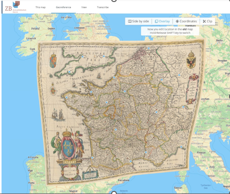
In 2023, the Map Collection of the Zurich Central Library (ZB) successfully carried out the citizen science project “Prachtsatlanten.” For this project, over 2,900 old maps were selected from the oldest and most beautiful Prachtsatlanten collections dating from the 15th to the 17th centuries and digitized. Citizen scientists... Read more