Prachtsatlanten 2 – Georeferencing old maps
After the successful first part, a further 2,256 digitised maps and town plans from the oldest and most beautiful atlases of the 16th to 18th centuries from the Maps and Panoramas Department of the Zentralbibliothek Zürich (ZB) are waiting to be georeferenced online by volunteers.
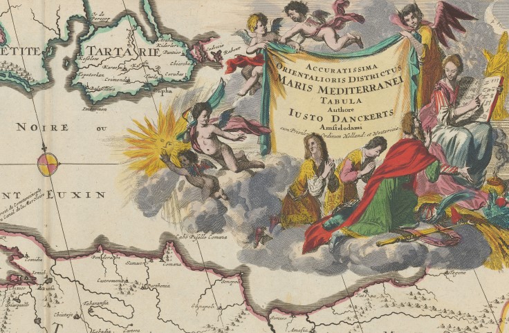
On the OldMapsOnline web platform, matching points on old and modern maps and city plans are identified, whereupon the old maps are automatically georeferenced and rectified. This makes them easier to find and compare with other old maps. In the period we are focussing on this time, cartographers placed particular emphasis on the beautiful design of the text cartouches.
The digitised maps are available in the collection “Prachtsatlanten (magnificent maps): From the Beginnings to the Golden Age”, available on the e-rara platforms.
→ Project website: t.zbzuerich.ch/atlanten2
Fig.: Map of the eastern Mediterranean, Danckerts Atlas, Amsterdam 1707 (Atl 101)
