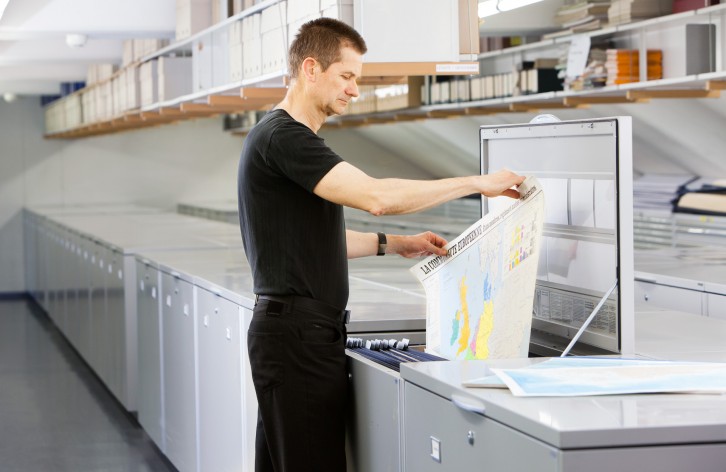
Examples of usage
Many issues in science and everyday life are linked to geographical space. Consequently, maps are often an essential source of information for research and teaching in many subject areas:
- Topographical maps for studying landscape changes
- City or architectural maps for the analysis and documentation of urban developments
- Glaciological maps for studies on climate change
- Topographical maps for planning trips to remote parts of the world
- Geological maps for the search for mineral resources
- Topographical and hydrological maps as a template for the renaturation of streams and rivers
- Old maps for researching cartographical history
- Vegetation maps to study vegetation dynamics
- Topographical maps and aerial photographs to detect locations with contaminated sites
- Material for lectures, seminars and lessons on a wide range of topics, such as architecture, geography, economics or history
- Illustration of topics with a spatial reference in books and reports