St. Gallen Map Collections
An issue of the journal Cartographica Helvetica has been published on the valuable cartographic collections of the Canton of St. Gallen. It is based not only on documents and objects—some of which are unique—but also draws on three important locations in Eastern Switzerland that house map collections: the Abbey Library of St. Gallen, the Vadiana Cantonal Library, and the St. Gallen State Archives.
Contents:
Old Maps of the Area of Today’s Canton of St. Gallen (Hans-Peter Höhener)
The Eschmann Map—Topographic Map of the Canton of St. Gallen Including the Canton of Appenzell, Scale 1:25,000 (1846–1854) (Urban Schertenleib)
The Alpine Rhine and Its Channelization in Maps and Plans (Markus Kaiser)
The St. Gallen Cosmographic Globe (Jost Schmid-Lanter)
Manuscript Maps Related to Vadian’s Teaching Activities in Vienna (Rudolf Gamper, Florian Mittenhuber, Chet van Duzer, Thomas Horst)
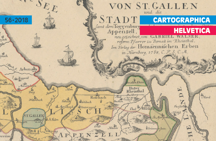
Cover image:
Map 16 from the Atlas novus Reipublicae Helveticae, published in 1769 by Homann’s Heirs in Nuremberg. Walser’s maps were very popular due to their clarity and are still considered classic maps of the old Swiss cantons today. In 1770, Walser wrote a concise “Geography of Switzerland” as an explanatory text to accompany the maps.