Of Mountains and Valleys—The Surveying of Switzerland
Four out of five of our daily decisions have a spatial component. But how is this spatial data collected, how is it updated, and why can we rely on it?
This presentation provides insights into the creation of national maps (yesterday) and three-dimensional geodata (today). The various platforms (cars, airplanes, satellites) and sensors (active and passive) integrated into the production process will be presented, and it will be demonstrated how the recorded (sensor) information must first be used to make the invisible visible. Finally, the presentation offers a fascinating look at how historical surveying data can be analyzed today and the surprising insights this yields.
Speaker: Dr. André Streilein, swisstopo, National Topography, Switzerland
The swisstopo colloquia, which take place during the winter semester, serve primarily as internal continuing education for swisstopo’s specialist staff. They consist of a series of presentations followed by discussions on selected topics and provide insight into the activities of swisstopo. Colloquia that address topics of general interest are open to the public. External guests are cordially invited to attend these events.
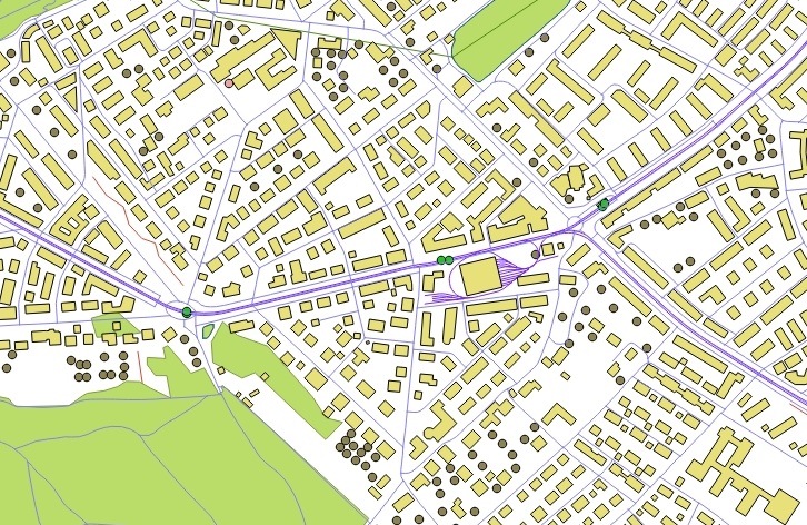
Figure: swissTLM3D landscape model by Swisstopo, visualization of test data in Quantum GIS