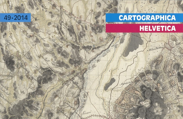
Issue 49/2014 of the journal Cartographica Helvetica has been published
Author: Hans-Uli Feldmann, Editor-in-Chief and Publisher of Cartographica Helvetica
This time, it is not anniversaries that shape the content of this issue, but rather maps that have remained largely unknown to the professional community until now. Who knew that the Austrian General Quartermaster’s Staff mapped large parts of eastern Switzerland in 1799— with a level of detail that was not matched until nearly fifty years later with the cantonal surveys for the Dufour Map? It is not surprising that this was done in secret, as the surveys were conducted during the Second Coalition War.
The article on the 1633 map of Lake Constance—whose authorship can now be definitively attributed to Hans Conrad Gyger—shows that war-related cartographic data can also be obtained by other means. This essay explains why he copied it in the midst of the Thirty Years’ War for the Swedish general Count Gustav Horn. The history of this map’s creation provides an interesting insight into the political and economic conditions of the city-state of Zurich at that time.
The history of the world map by Johannes Kepler and Philipp Eckebrecht unfolds around the same time. Many copies of Johannes Kepler’s “Tabulae Rudolphinae” (Ulm, 1627) contain an accompanying world map, which, due to a dedication to Emperor Leopold I, could not have been published before 1658. A newly discovered proof print from 1630, published here for the first time, now makes it possible to reconstruct the complicated history of the work.
The circumstances under which a “white spot”—that is, the previously unmapped High Cordillera of Mendoza in the Argentine Andes—was topographically surveyed are the subject of the article on Robert Helbling. He was not only a geologist with a doctorate and a passionate mountaineer, but also a topographer and, above all, a pioneer of stereophotogrammetry. With the outbreak of World War I, Helbling drove forward the introduction of stereophotogrammetry in Switzerland and later also made significant contributions to the development of photogeology. With the exhibition “Tierra incógnita—Robert Helbling’s Treasure Trove of Maps from Argentina,” the Swiss Alpine Museum is currently paying him a well-deserved tribute.
This is followed by three interesting forum contributions, beginning with the Kander River diversion in the Bernese Oberland—the first actual river correction in Switzerland, which took place 300 years ago. The birthday of the Zug cartographer Franz Fidel Landtwing (1714–1782), whose works have remained largely unknown until now, dates back just as far. And in a final post, the Maps and Panoramas Department of the Zurich Central Library announces a new acquisition that is rather spectacular by Swiss standards: a panorama of the city of Zurich and the right bank of the lake.
You’ll also find current sections on news, conferences, exhibitions, auctions, and new publications. www.kartengeschichte.ch leads to the table of contents with summaries/Résumés/Summaries. Frequency of publication for this journal: twice a year (January and July).
More information about the journal ‘Cartographica Helvetica’