Digital map
Nowadays, the majority of maps are fully computerised. The map elements are saved as vector data and linked to attributes. Probably the best known examples are online map services such as Google Maps and OpenStreetMap. Printed maps are also produced from the digital data, either using the traditional offset printing or, for individual copies on order, inkjet printers.
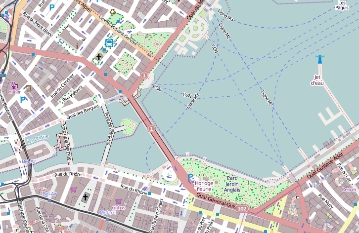
Picture: OpenStreetMap, OpenStreetMap-Mitwirkende, 2013
