Through Space and Time
An invitation to everyone to precisely locate maps from four centuries and trace changes in the environment.
Over 2,500 digitized historical maps of Zurich and Switzerland from the Maps and Panoramas Department of the Zurich Central Library are waiting to be georeferenced using Georeferencer.
For the “citizen science” project “Through Space and Time,” maps from the 16th to the 19th centuries were selected; these digitized versions are already available to the public on the e-rara.ch and e-manuscripta.ch platforms.
https://www.zb.uzh.ch/de/ueber-uns/citizen-science/durch-raum-und-zeit
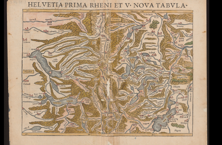
Fig.: Sebastian Muenster: Helvetia prima Rheni et V. nova tabula, 1540 (Zurich Central Library, 3 Hb 02: 3)