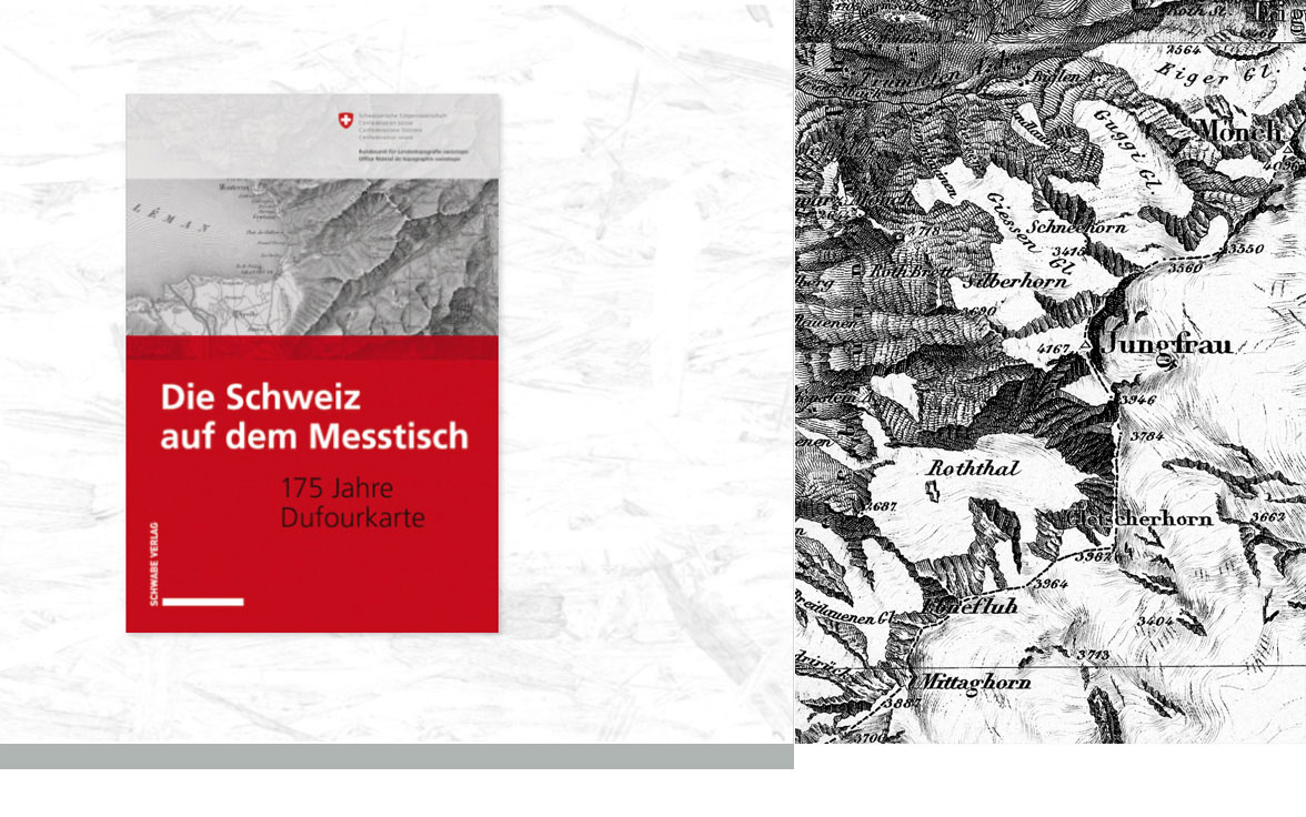
Switzerland on the drafting table. 175 years of the Dufour Map
A new anthology on the Dufour Map.
In 1845, the first two sheets, XVI and XVII, of the Topographic Map of Switzerland—known as the “Dufour Map”—were published. They depicted the mountainous regions of Valais and the shores of Lake Geneva. The regions of the politically divided Swiss Confederation—which were very diverse at the time—were depicted as a unified and contiguous territory. The Topographic Map challenged the prevailing realities and provoked criticism.
The anthology Switzerland on the Surveying Table: 175 Years of the Dufour Map uses this cartographic work to explore this complex past. The publication brings together seven scholarly articles on the Dufour Map, all of which share one common thread: All contributions take the anniversary sheets XVI and XVII as their starting point for journeys of discovery into a Switzerland that no longer exists today. The texts demonstrate how maps open a gateway to our country’s past and provide insights into 19th-century ways of life.
Written in French, German, and Italian, the articles not only take readers on a journey to a time of immense political significance for Switzerland—the Topographic Map of Switzerland is a key document of the nascent federal state— They also offer a glimpse into valleys, settlements, and ways of life that no longer exist in this form today. The Topographic Map of Switzerland is a panorama of the Swiss Confederation that, upon closer inspection, reveals surprising secrets.
For more information or to order, visit swisstopo here