Basel University Library Makes Maps Available on Wikimedia Commons
In collaboration with Wikimedia CH and the Wikipedian in Residence, the University Library of Basel has completed the upload of 557 digitized maps dating from the 16th century to the end of the 18th century. The files are available in high resolution (.tif) on Wikimedia Commons under the category “UB Basel Maps.”
The images are in the public domain and may be used without restrictions.
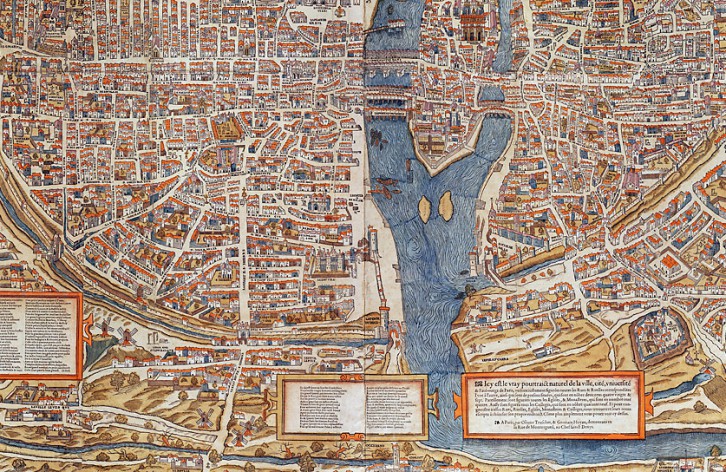
Image: La ville, cité et Université de Paris - A Paris: by Olivier Truchet and Gemain Hoyau, [155-], University Library of Basel, Map Collection AA 124
Basel University Library Maps on Wikimedia Commons Detailed information (University of Basel News)