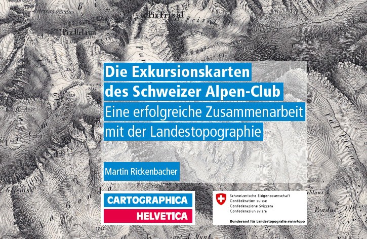
Publication on the Swiss Alpine Club’s Excursion Maps
In 2013, the Federal Office of National Topography (swisstopo) celebrated its 175th anniversary, and the Swiss Alpine Club celebrated its 150th anniversary. These two remarkable anniversaries served as an opportunity to highlight key points of connection between the two institutions within the context of Swiss cartographic history. As early as 1863, the SAC began using its excursion maps to create templates for the later national map series at scales of 1:25,000 and 1:50,000.
Published by Cartographica Helvetica, this special issue describes the evolution of the SAC’s excursion maps—from black-and-white hatching to multicolored relief maps with contour lines, and finally to today’s snowshoe and ski touring maps. It also details the creation of route sketches for the SAC’s club guidebooks. Written by map historian Martin Rickenbacher, the issue contains 30 color illustrations, some of which were previously unknown.
Martin Rickenbacher: The Swiss Alpine Club’s Excursion Maps: A Fruitful Collaboration with the National Topographic Service
Ordering address:
Cartographica Helvetica Publishing House
Untere Längmatt 9, 3280 Murten
Fax: 026 670 10 50
Email: [email protected]
www.kartengeschichte.ch