New Publication: Publication on German wartime maps of Switzerland
Cartographica Helvetica: Special Issue 23
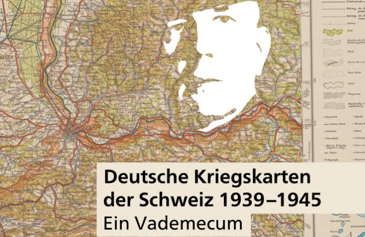
German Wartime Maps of Switzerland 1939–1945
A Vademecum
During World War II, the General Staff of the German Army published an impressive series of maps of Switzerland: topographic map series at scales of 1:25,000 and 1:100,000, a fortification map in several editions, a road condition map, an atlas of city maps, etc. In this new special issue, these maps are comprehensively documented and honored for the first time.
The author explores the following questions:
What maps did the Germans have at their disposal? What was their quality? Were these maps intended for war games or for concrete preparations for an attack? How do the German war maps of Switzerland fit into the history of cartography?
From the contents:
- Detailed description of all maps and their sources
- Chronology of events: From the planning and production of the first maps, through their connection to Operation “Tannenbaum” in 1940, to the German Army Map of 1944–45
- Details on reproduction and printing techniques, and the identities of the printing companies involved
- Aspects of the German Army’s global mapping program
- Organization of the German wartime mapping and surveying system, including a newly researched biography of its chief (Lieutenant General Hemmerich).
Authors: Markus Oehrli, Martin Rickenbacher (contributor)
Contents: 100 pages with 50 color illustrations, A4 format
Price: CHF 48.00 (plus shipping and handling)
Ordering address: Cartographica Helvetica Publishing Untere Längmatt 9, 3280 Murten Fax: 026 670 10 50 Email: [email protected] www.kartengeschichte.ch