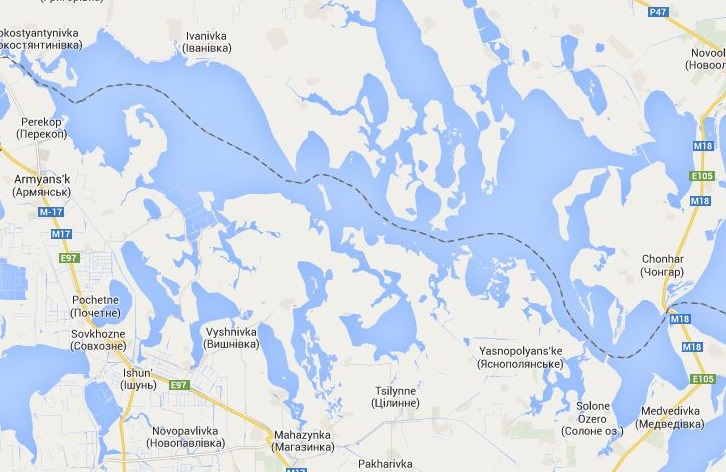
The Crimea Crisis and Google Maps
For Internet users in Russia, Google Maps displays a thick, solid line as the border between Crimea and Ukraine, thereby politically assigning the peninsula to Russia. For the rest of the world, a thin, non-dashed line is displayed. The fact that maps assert claims to power is nothing new in history.
Listen toa report from April 15, 2014, on the Swiss Radio website featuring Jost Schmid, head of the map collection at the Zurich Central Library: