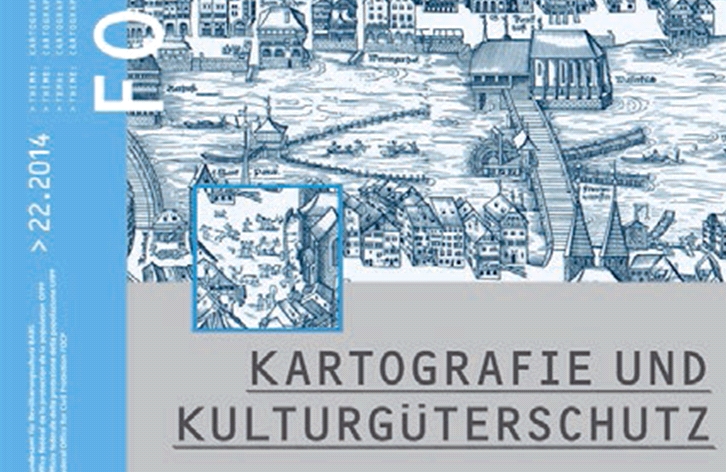
Cartography and the Protection of Cultural Heritage
The contents of Issue 22 of KGS Forum are devoted to the following topics in chronological order: Christoph Flury: Editorial – Cartography and the Protection of Cultural Heritage. Hans-Uli Feldmann: Highlights from the History of Maps and Cartography in Switzerland. Jost Schmid: Hans Conrad Gygers’ Border Map of 1635—Captured, Lost, Purchased at Auction. Hans Laupper: Glarus in the Eye of the World. Gilbert Coutaz: The Important Collection of Historical Maps at the Vaud Cantonal Archives. Cornelia Stäheli: The Relocation of the Knoepfli Collection to Frauenfeld. Karl Schmucki: The St. Gallen “Zurich Globe”: A Valuable Work of Art at the Center of the Cultural Property Dispute Between Zurich and St. Gallen. Philippe Müller: Comprehensively Mapped by the USSR—Soviet General Staff Maps of Switzerland. Daniela Brandt, Beat Tschanz: Cultural Heritage Protection from the Perspective of the Geo.admin.ch Geoportal. Rino Büchel: Cultural Heritage Protection Measures for Historical Maps. Christian Häberling, Stefan Arn, Thomas Schulz: Acquisition of Cartographic Knowledge in Switzerland—A Brief Overview. Ekkehard Weber: The Tabula Peutingeriana—a medieval copy of a late Roman world map and a UNESCO World Heritage Site. Renate Seemann: Historical cadastral maps from Mecklenburg-Western Pomerania. Sally Hopmann: Archipelagus Orientalis, sive Asiaticus, 1663.
KGS Forum 22/2014 Bern: Federal Office for Civil Protection, Division of Cultural Heritage Protection, 2014. 102 pages with numerous color illustrations, 21 x 29.7 cm. ISSN 1662-3495, paperback.
Ordering address:
Cartographica Helvetica Publishing House,
Untere Längmatt 9, CH-3280 Murten
CHF 15.00 (= cost of packaging and shipping).