Digitization of Maps of the Regio Basiliensis
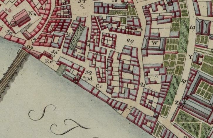
The University Library of Basel has digitized approximately 400 maps of the Regio Basiliensis from the 18th and 19th centuries. The digitized versions of the maps and plans of Basel, northwestern Switzerland, Alsace, and South Baden can be found on the e-rara platform. Together with the approximately 500 maps from the 16th and 17th centuries that were digitized earlier, this brings the total number of maps available from the University Library of Basel to around 900.
Fig.: “Plan of the City of Basel”, Samuel Ryhiner, Basel, 1786, e-rara